Travel Tips
Maps & Tools
The best way to travel comfortably in Kyoto is to be aware of crowds and other conditions in the places you want
to go, as well as knowing the best ways to get around.
There are a variety of free maps, tools, and smartphone applications that have been developed to support you
during your time in Kyoto.
On this page, we introduce the best available options to increase your understanding and improve your travel
planning.
Download, print out, and/or access these resources on your smartphone to make sightseeing a breeze!
*Data charges may apply for certain features and services.
Digital Kyoto Maps
Kyoto Smart Navi
Stay informed! Learn about the services available at Kyoto's tourist spots and check out their current congestion status for a comfortable sightseeing experience.
Main Features
01. Tourist Spots: Information on shrines, temples, and other recommended tourist spots in the city.
02. Live Camera: Real-time updates and congestion information at different tourist spots based on the Kyoto Travel Congestion Forecast.
Kyoto Station Smart Navi
Kyoto sightseeing can become easier by using your smartphone:
You can check real-time vacancy of the coin lockers in the station and information on the City Bus stops, as well as shopping information, all on one platform.
With the use of AI technology, you can point your smartphone camera at your surroundings to easily indicate your current location and receive directions to your destination.
Main Features
01. Hands-Free Travel Information
- Locations of coin lockers, real-time vacancy and locations of reception desks for luggage delivery / temporary storage services.
02. Directions to Your Destination
- Search routes to your destination from your current location.
- Use your camera to indicate your current location, including which floor of the station you are on.
Kyoto Travel Congestion Forecast
Avoid crowds for stress-free travel
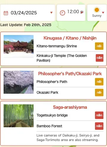
The Kyoto Travel Congestion Forecast provides useful information for avoiding congestion by forecasting comfort levels around popular spots and providing real-time information via live cameras.
Please enjoy sightseeing in Kyoto while skillfully avoiding crowded times and places.
Kyoto Travel Congestion ForecastPrintable Kyoto Maps
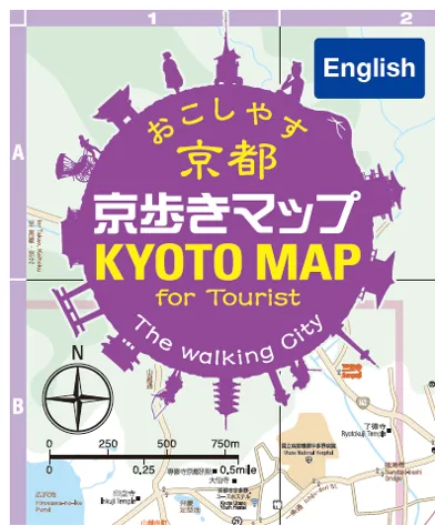
KYOTO MAP for Tourists
Open map
Kyoto City Map
Open map
Higashiyama Area Maps (Website in Japanese, Maps in English)
Visit this website
Useful Apps for Touring Kyoto
Arukumachi KYOTO
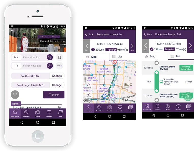
Arukumachi KYOTO Route Planner is a handy search application that provides information on routes, times, and fares for buses and trains in Kyoto.
Official WebsiteON THE TRIP

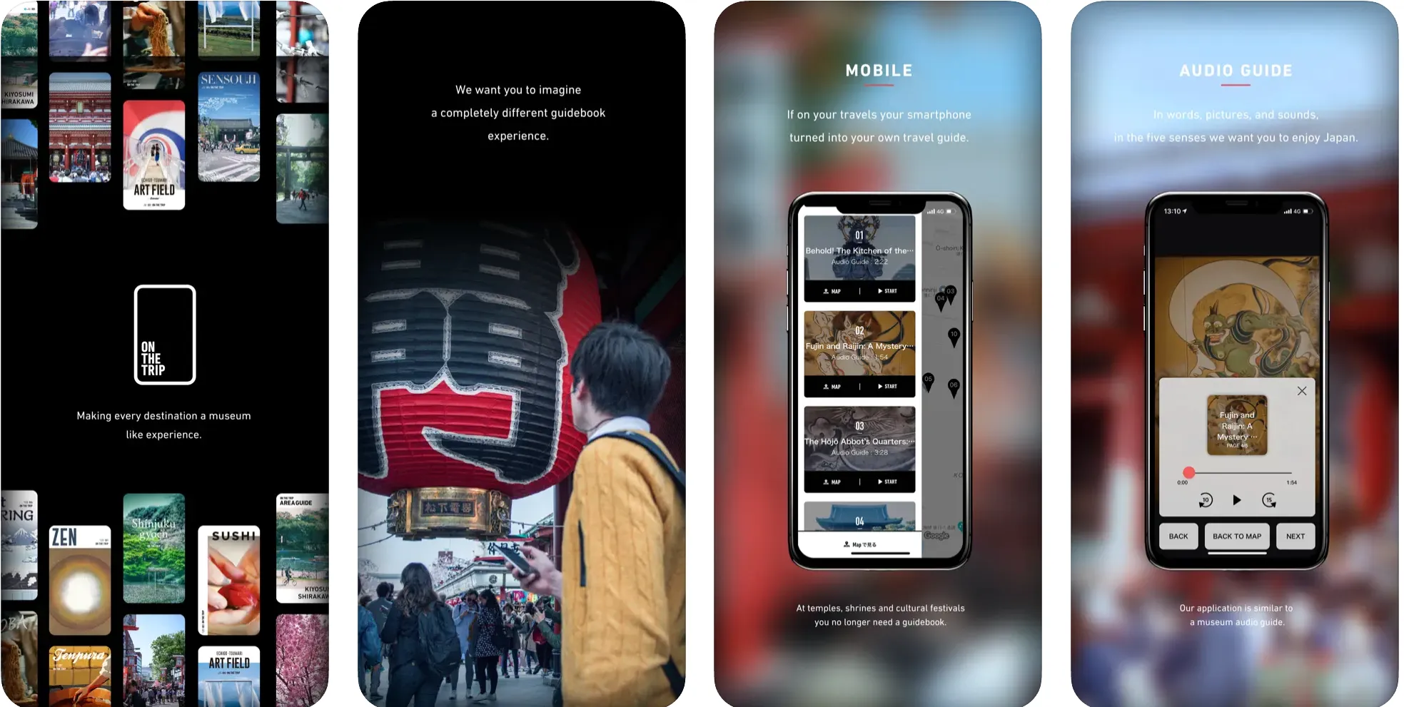
ON THE TRIP provides invaluable information about cultural heritage sites, festivals, and other aspects of Japanese culture such as Zen and sushi.
Official Website
Websites & Services
Gurunavi

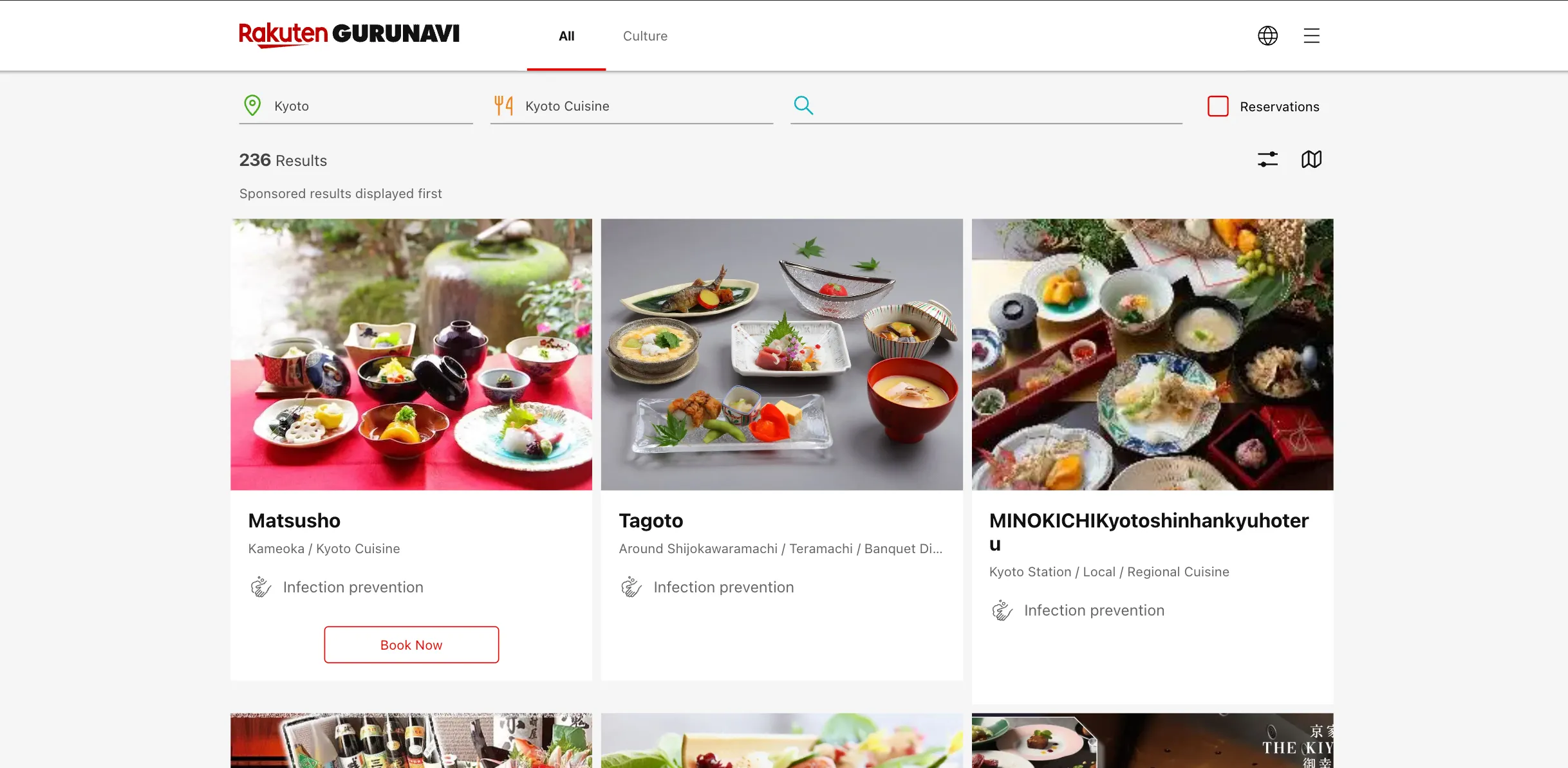
GURUNAVI is one of Japan's leading gourmet and restaurant guides. With the GURUNAVI app, you can search for restaurants and narrow down the results with various criteria, including the type of cuisine and location.
Official WebsiteSharing Kyoto


Sharing Kyoto is a service that assists in planning and organizing trips around Kyoto. It creates itineraries tailored to each customer and reserves seats at restaurants that are difficult to book for new customers. It also employs concierges that can provide in-depth explanations on how to better enjoy the special experiences.
Official WebsiteLive Japan

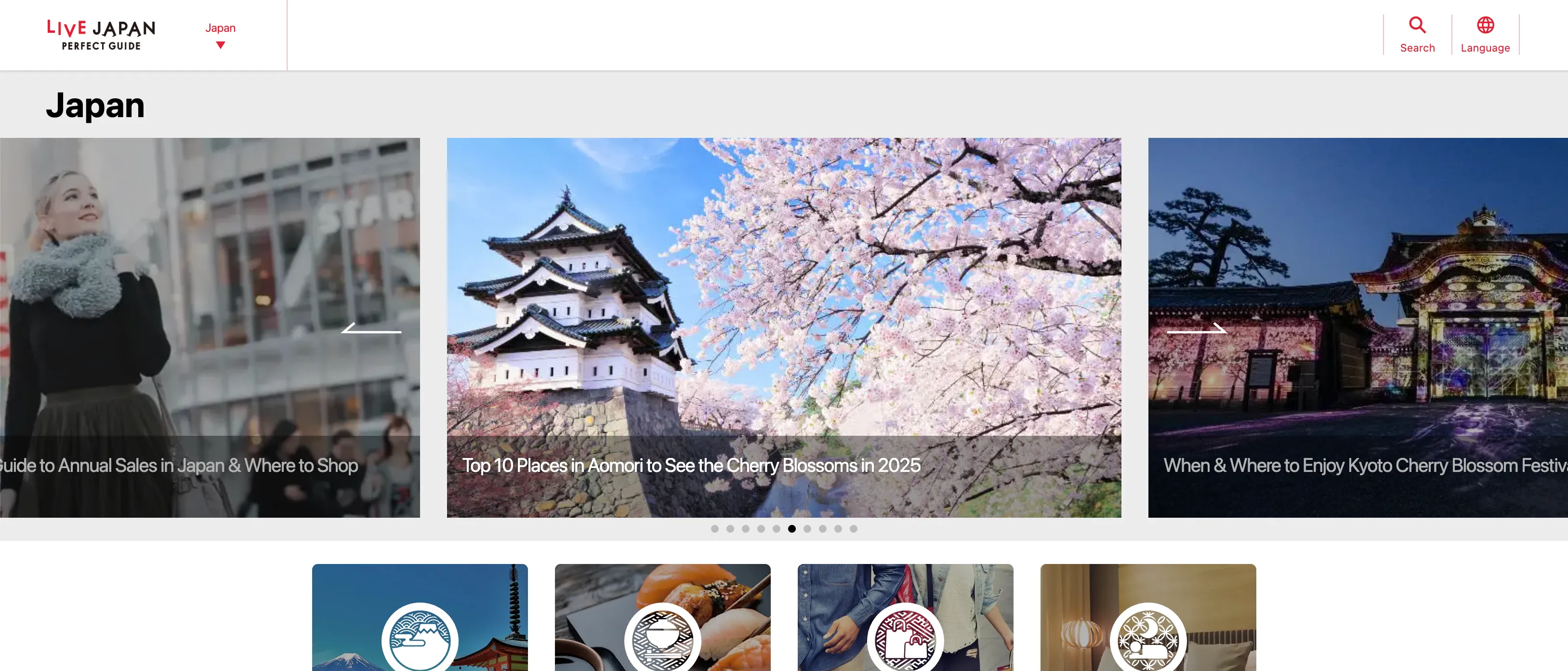
Using the Live Japan app, you can learn about Kyoto’s tourist destinations and things to do in Kyoto—even from abroad! You can also discover popular shops, events, and souvenirs.
Official Website
Kyoto Online Tourist Information Center

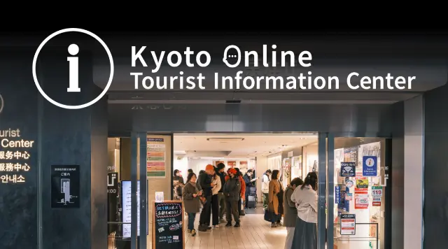
You may also be interested in
Sample Itineraries
Read our ideas for how to spend time in Kyoto and find inspiration for your next journey.
Go to this page

